


Tiles
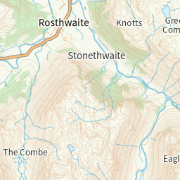
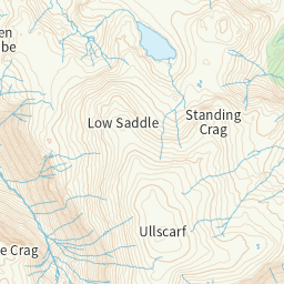
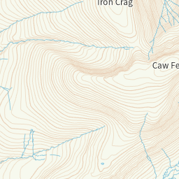
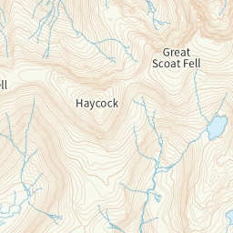
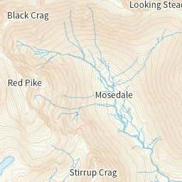
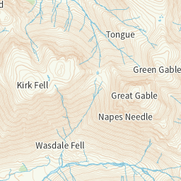
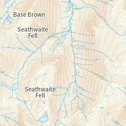
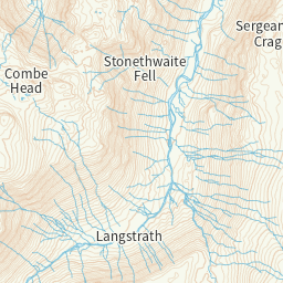
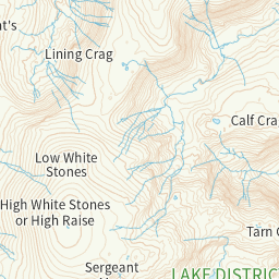
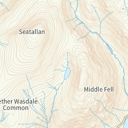
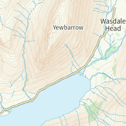
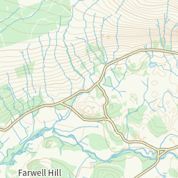
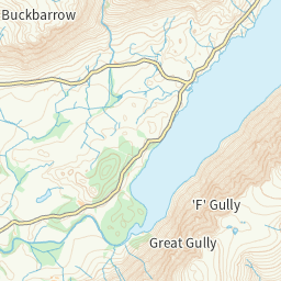
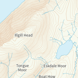
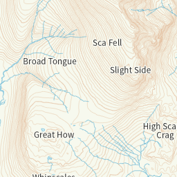
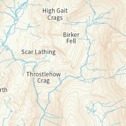
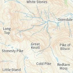
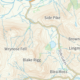
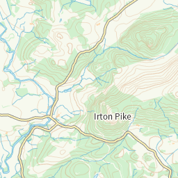
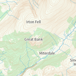
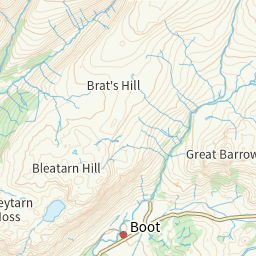
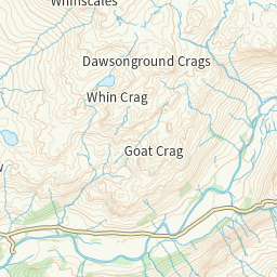
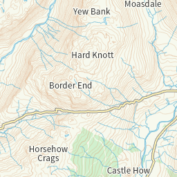
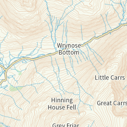
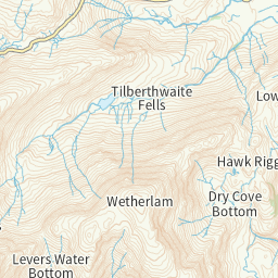
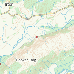
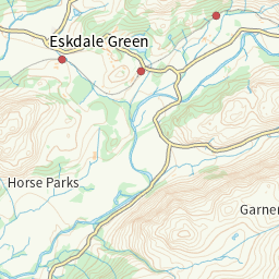
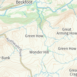
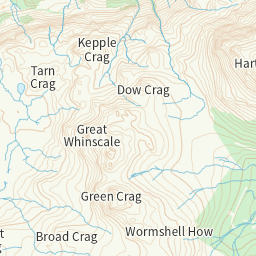
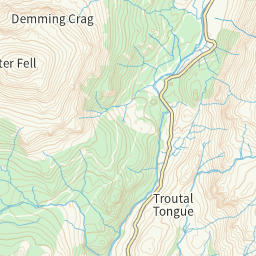
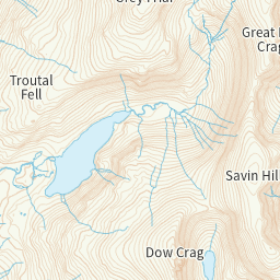
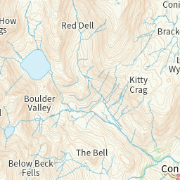
Ordnance Survey map tiles for Britain — the basemap under anything spatial. Free, and fetched once — a tile is served from here forever after, so a region costs this instance one look however many people use it.
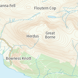
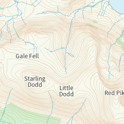
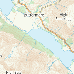
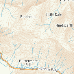
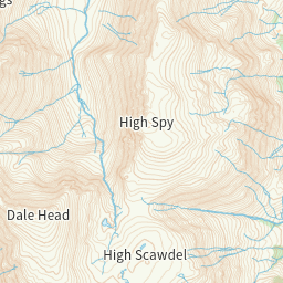
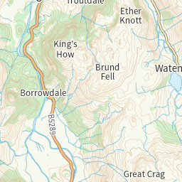
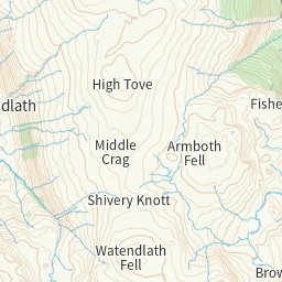
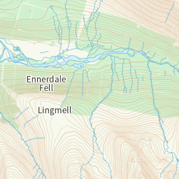
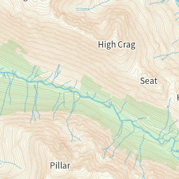
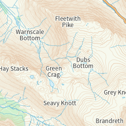
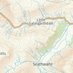
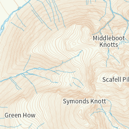
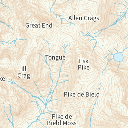
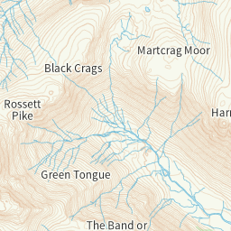
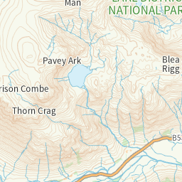
Pointing a map at it
https://micro.mu/tiles/road/{z}/{x}/{y}.pngThat is a raster tile URL — give it to MapLibre, Leaflet or OpenLayers as-is. Free: a tile is fetched once, ever, and served from here afterwards. Signing in is only needed for a tile this instance has never seen, and there is a limit of 2000 of those an hour per account so nobody can mirror Britain by accident. Ask tiles_area for the tiles covering a bounding box. Contains OS data © Crown copyright and database right.